Chesil Beach and the Fleet Lagoon
18 miles and 180 billion pebbles
Ferrybridge - Defences

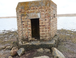
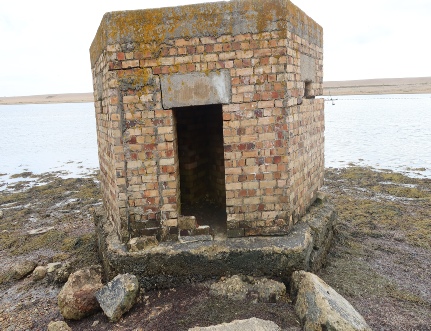
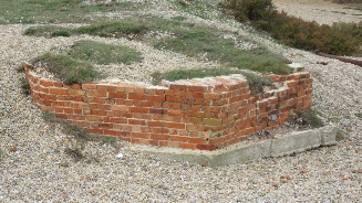
In 1940 when invasion appeared imminent a number of defensive measure were put in place in the Ferrybridge area. These are shown on the map below. The thirteen pillboxes shown have been identified from RAF photographs taken in 1946. There is a gap in the coverage of these photographs so there may have been another pair of pillboxes on Chesil.
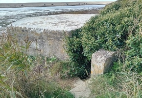
The demolition charge appears out of place on a modern map but in 1940 it was placed under the old road bridge.
The light anti-aircraft gun positions are believed to have held Bofors 40mm guns
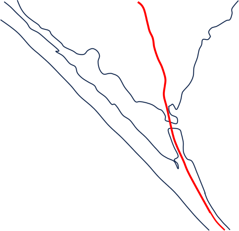


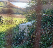
Pillbox
Demolition charge
Light anti-aircraft gun
Barbed-wire fence


The pillboxes are mostly type 22 structures with a few type 26 structures. For more information on the types of pillboxes go to the Pillbox Study Group site here. Many of the pillboxes have disappeared for various reasons and only six can now be seen.
All of the light anti-aircraft gun emplacements have now been removed. The track of some of the barbed-wire fences can be seen from the rust staining of the pebbles.


Some of these pillboxes are located on private property and must not be accessed without the landowners permission