Chesil Beach and the Fleet Lagoon
18 miles and 180 billion pebbles
Ferrybridge - Ferry

The original means of getting from Weymouth to Portland, and vice versa was by means of a small ferry boat. A number of early sketches portray this ferry as either a rowed ferry or a rope ferry for foot passengers and hand luggage only. Large cargo would have been transported by ship. It is not known how accurate the portrayals were.
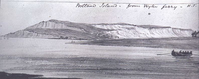
Sketch by unknown artist believed to be dated around 1820. Picture from the Stuart Morris collection.Here the ferry boat is being rowed across the channel.
In the 18th century it was possible to bypass the ferry at spring low tides by using a trackway across the sand flats in front of Hamm Beach. This track is shown in the Ordnance Survey map of 1807.
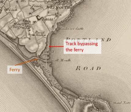
Ordnance Survey map of 1807 showing the track bypassing the ferry
The track was the continuation of Old Castle Road across the sand to Small Mouth where it crossed the channel coming out of the Fleet before continuing on the sand past Hamm Beach to join the road to Portland near the start of The Mere.This track would only be usable for a few hours in the afternoon and for two or three days each tidal cycle around the spring tides.
The Fleet channel was deepened by the out-flowing water during the great storm of 1824 and the track was not passable after this. In 1979, before the new road bridge was built, it was possible, just, to wade across the path of the track. There was a shallow bar just as the channel entered the deeper water of Portland Harbour.
Reports from the 1700’s suggest the sand level was higher than it is today with greater areas drying at low tide.
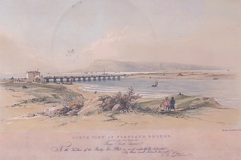
The great storm of 1824 had a major impact on the Ferrybridge area. The ferry and ferryman’s cottage were swept away and the alternative trackway rendered impassable. Although a ferry was reinstated, pressure grew to build a road bridge across the Fleet and this resulted in a wooden trestle bridge which opened in 1839.
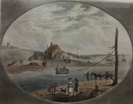
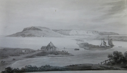
In this painting, looking from the Portland side towards Wyke Regis, the ferry is shown as being rope-operated. The date of this print is not known.
This sketch, looking from the Wyke Regis side towards Portland also portrays a rope operated ferry. This print is believed to be from 1807.
Most of the early references to the ferry describe it as ‘horse operated’. The ferry was guided over by a rope but was drawn by one or more horses.