

|
Macmillan Way |
A long- |
|
Maps |
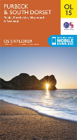
The best map of the area is the Ordnance Survey Explorer map OL15. This is a 1:25,000 map and includes a lot of additional information for outdoor activities. However, one problem is that the Chesil Beach area is on the back of the sheet, so be prepared to re- |
|
Mere |
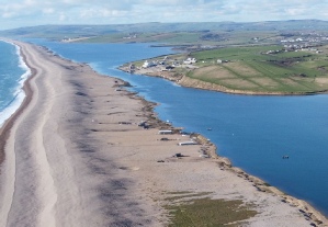
A large body of water at the southern end of Chesil Beach. It used to lie between Chesil Beach and the second tombolo linking Portland to the mainland. The area was developed by the MoD initially as an oil storage area, but later it became the Portland Heliport. After the Navy left Portland the area was re- |
|
Mid- |
The part of the Fleet north of the Narrows and south of Rodden Hive |
|
Minesweeping Range |
The Royal Navy operated a minesweeping trials range off West Bexington for some years following WWII. It was abandoned in the mid- |
|
Moonfleet |
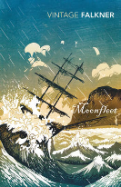
A book about smuggling by J. Meade Faulkner written in 1898. It is set in the area around Fleet village. The full text can be downloaded here. |
|
Moonfleet Hotel SY617806 |
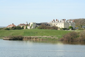
Originally this was Fleet House but after WWII it was converted to a hotel and named after the house in the book of the same name. |
|
Mullet |
The grey mullet is a common fish of the Fleet occurring in large numbers along its entire length |

|
Narrows |
The narrow channel between Chesil Beach and the end of the Wyke ridge linking the Mid- |


