Chesil Beach and Fleet picture gallery
![]()
Chickerell Hive
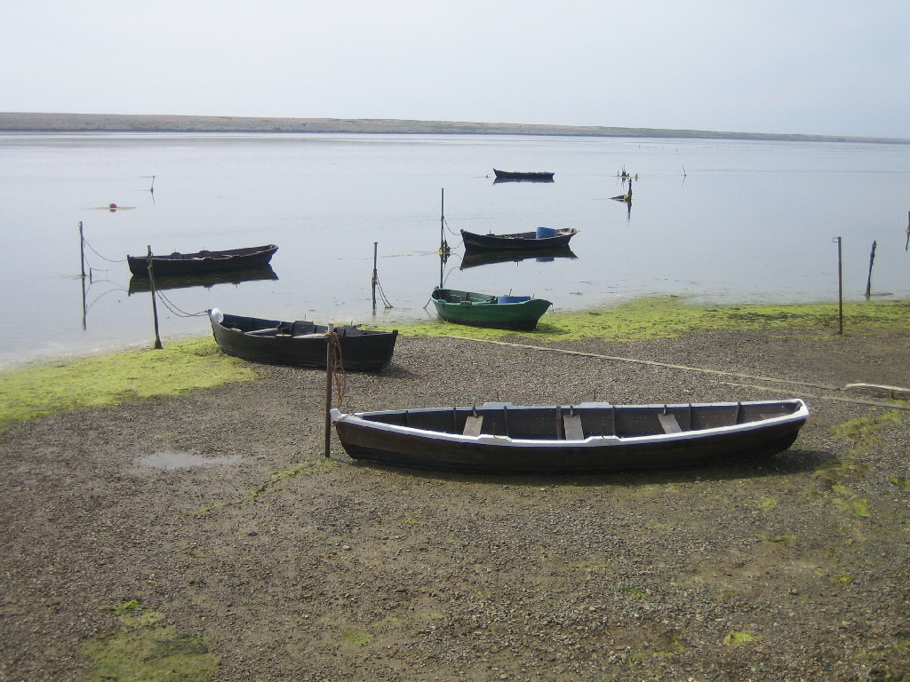
Taken from Chickerell Hive Point looking west. Chesil Beach is in the distance. The boats are flat-bottomed and built for use on the shallow waters of the Fleet.
SY637791
14/5/2006
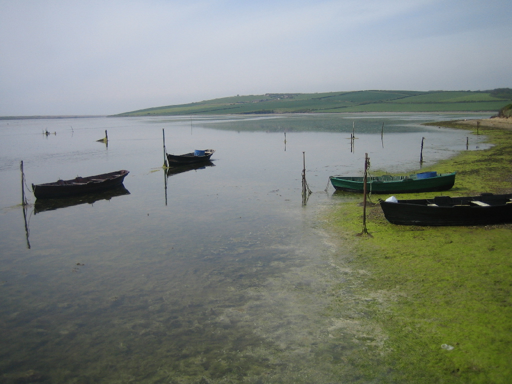
Looking north-west up the Fleet across Butterstreet Cove. Sea Barn Hill is in the distance.
SY637791
14/5/2006
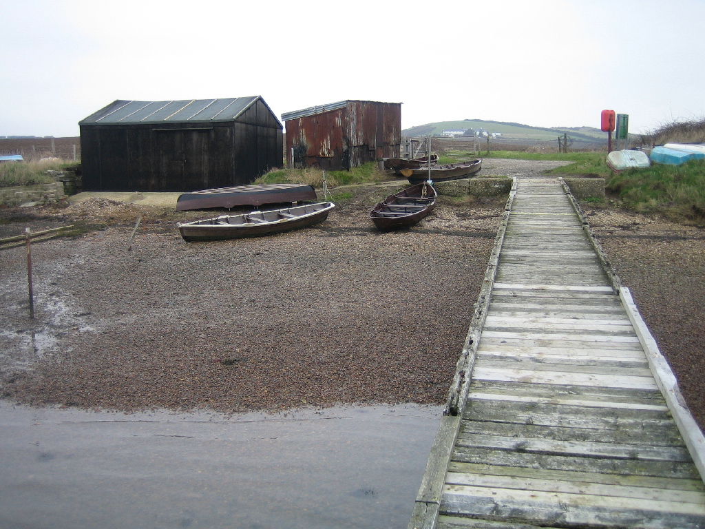
Chickerell Hive Point. These huts were probably built as part of the RAF bombing range on the Fleet during WWII.
SY637791
14/5/2006
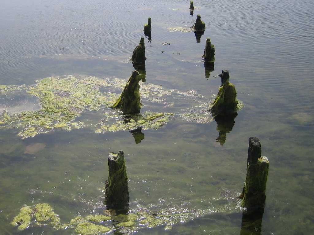
The old pier at Chickerell Hive.

Huts on Chesil Beach opposite the Tidmoor Point rifle range. The building on top of the beach is the range lookout post with warning flag pole.
SY624804
11/3/2007
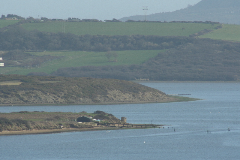
Chickerell Hive Point in the foreground with Tidmoor Point behind it. Beyond that is the western end of the Wyke Regis ridge and beyond that again is Portland.
SY624804
11/3/2007
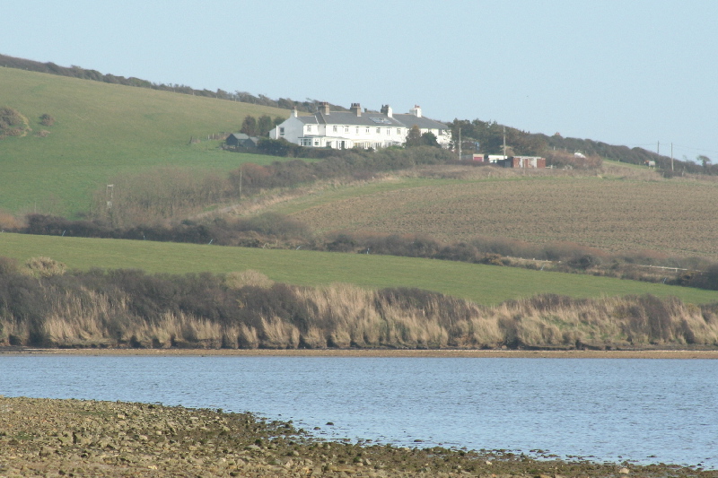
The old coastguard cottages above Chickerell Hive Point. Taken looking across Butterstreet Cove.
SY630798
18/2/2007
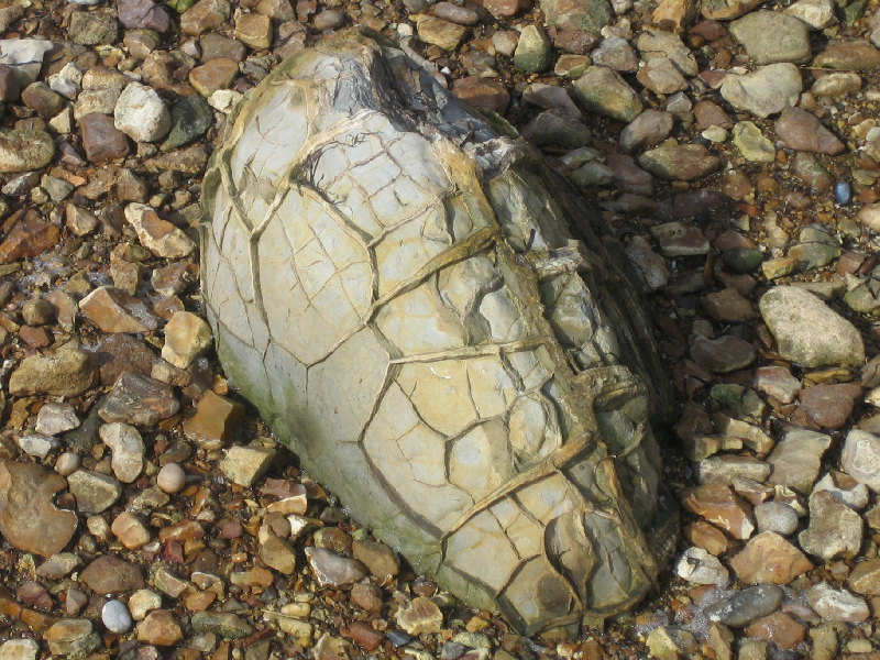
A turtle stone, or septarian nodule, on the beach near Chickerell Hive Point. they are called turtlestones because the segmented markings resemble those on turtle shells.Larger examples can be cut and polished and are known as Melbury marble. They are believed to have been formed when the Oxford clay is locally enriched to form spheres. Drying out then causes cracks which fill with calcite and other material. Good examples of turtle stones can be seen in Portland Museum, including several sectioned stones..
SY491888
2/12/2007