Chesil Beach and Fleet picture gallery
![]()
West Bexington and Cogden
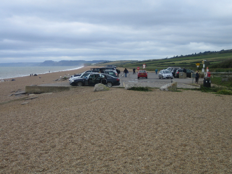
The car park at West Bexington. This can be reached from a turning off the B3157 opposite the Bull Inn in the village of Swyre.
SY531864
19/8/2007
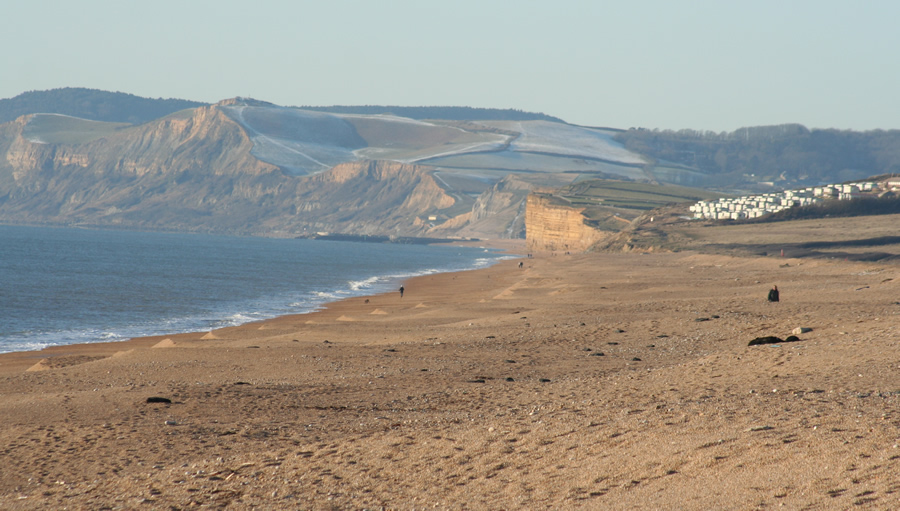
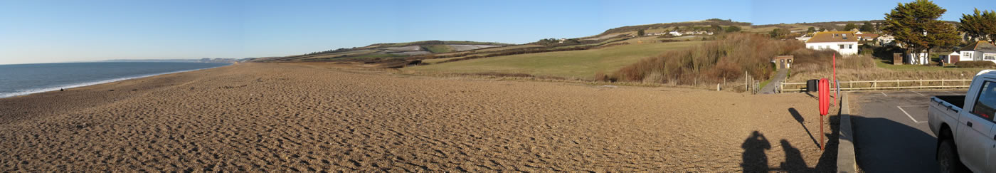
Looking north-west from the car park. Burton Cliff is clearly visible middle-right of picture with Golden Cap in the distance. Note the scalloping on the seaward edge of the beach caused by wave action following autumn storms.
SY531864
7/1/2010
Click on any picture to see a higher resolution image
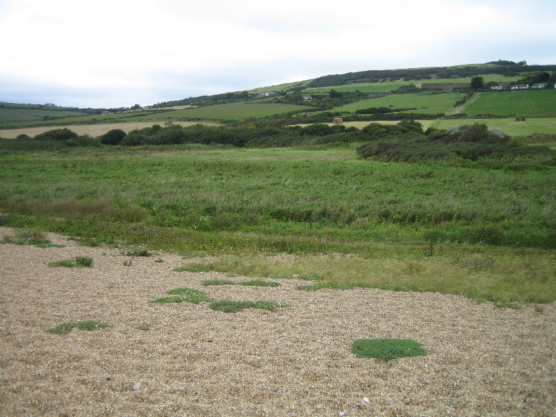
West Bexington Nature Reserve. This marshy area is several hundred metres north of West Bexington and is reached by a path along the back of Chesil Beach. The reserve is operated by the Dorset Wildlife Trust. Click here for more information.
SY528866
19/8/2007
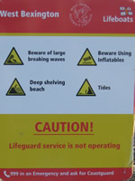
Observe warning signs when visiting the beach at West Bexington
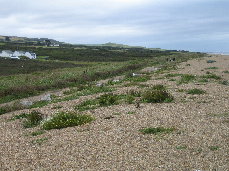
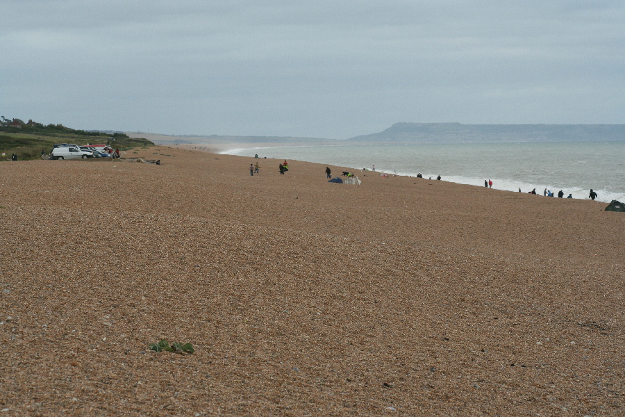
Looking south-east along the back of Chesil beach from West Bexington.
SY532864
19/8/2007
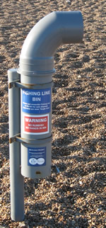
If you go fishing from West Bexington beach please use the two special bins provided to dispose of unwanted tackle. Discarded fishing gear is still a major source of beach litter and can be dangerous to other visitors.
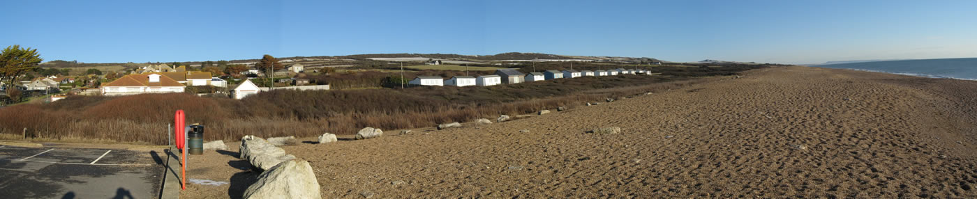
Looking south-east along Chesil beach from West Bexington. Portland is in the distance.
SY532864
19/8/2007

Burton Mere is north-west of West Bexington and lies between West Bexington and Cogden Beach.
SY522883
15/3/2007

The reed beds at the western end of Burton Mere
SY506880
23/3/2007