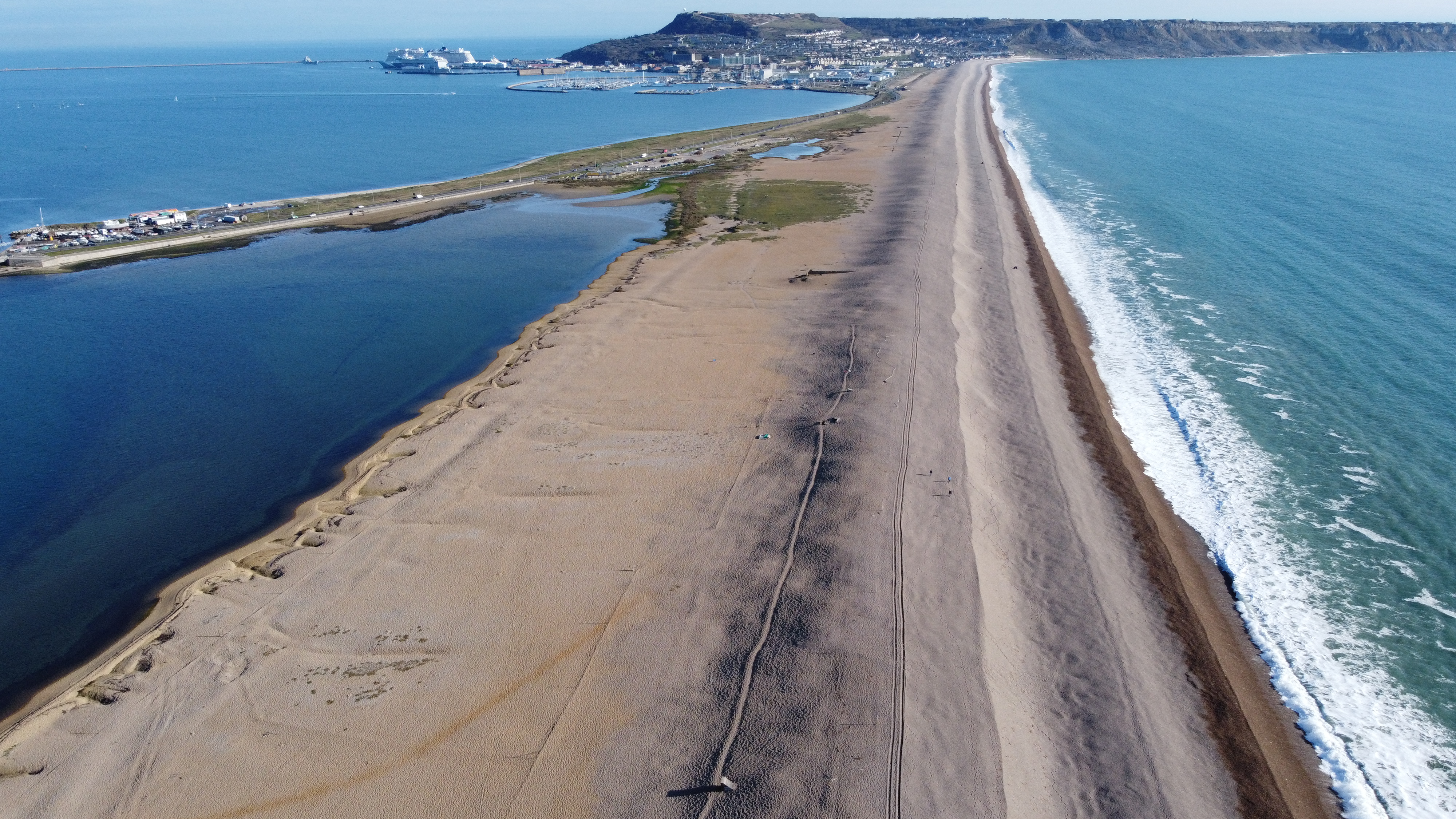
The Ferrybridge area encompasses the stretch of Chesil Beach from the The Narrows southwards to the northern end of the Chiswell drainage scheme and also includes all of Hamm Beach and the southernmost part of Wyke Regis
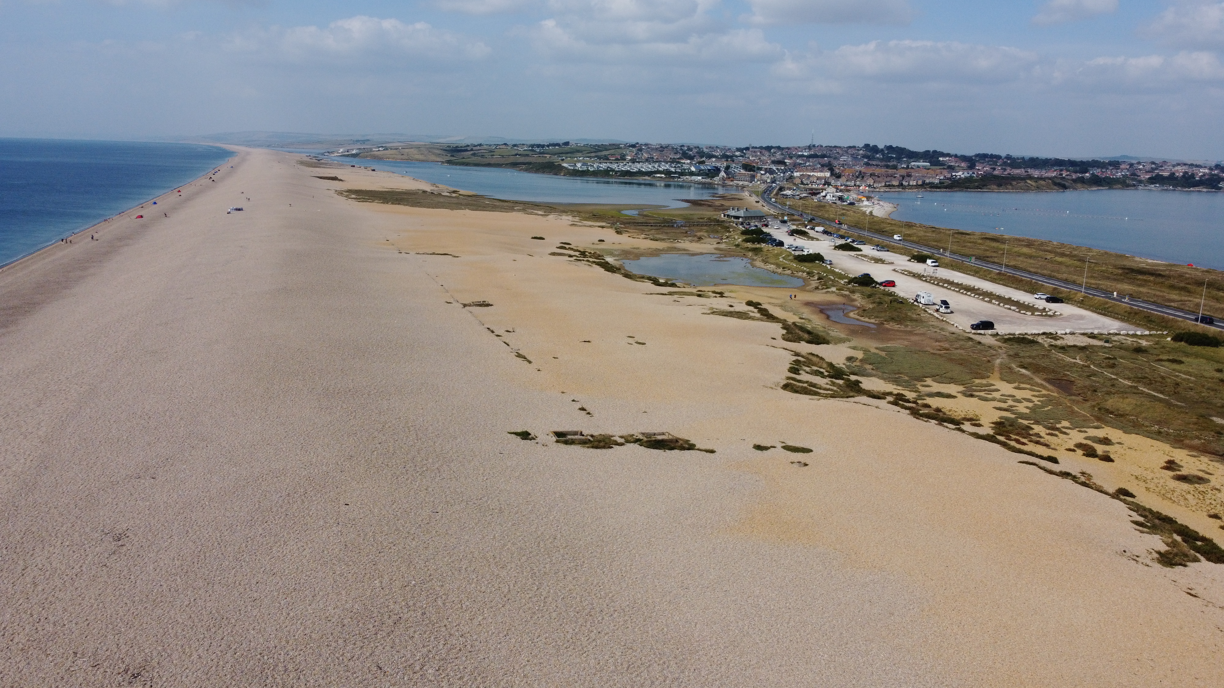
This area is of particular interest as it is the area most affected by the activities of man. It is also the area that is easiest to access because of the Beach Road car park so is most familiar to visitors to the area,
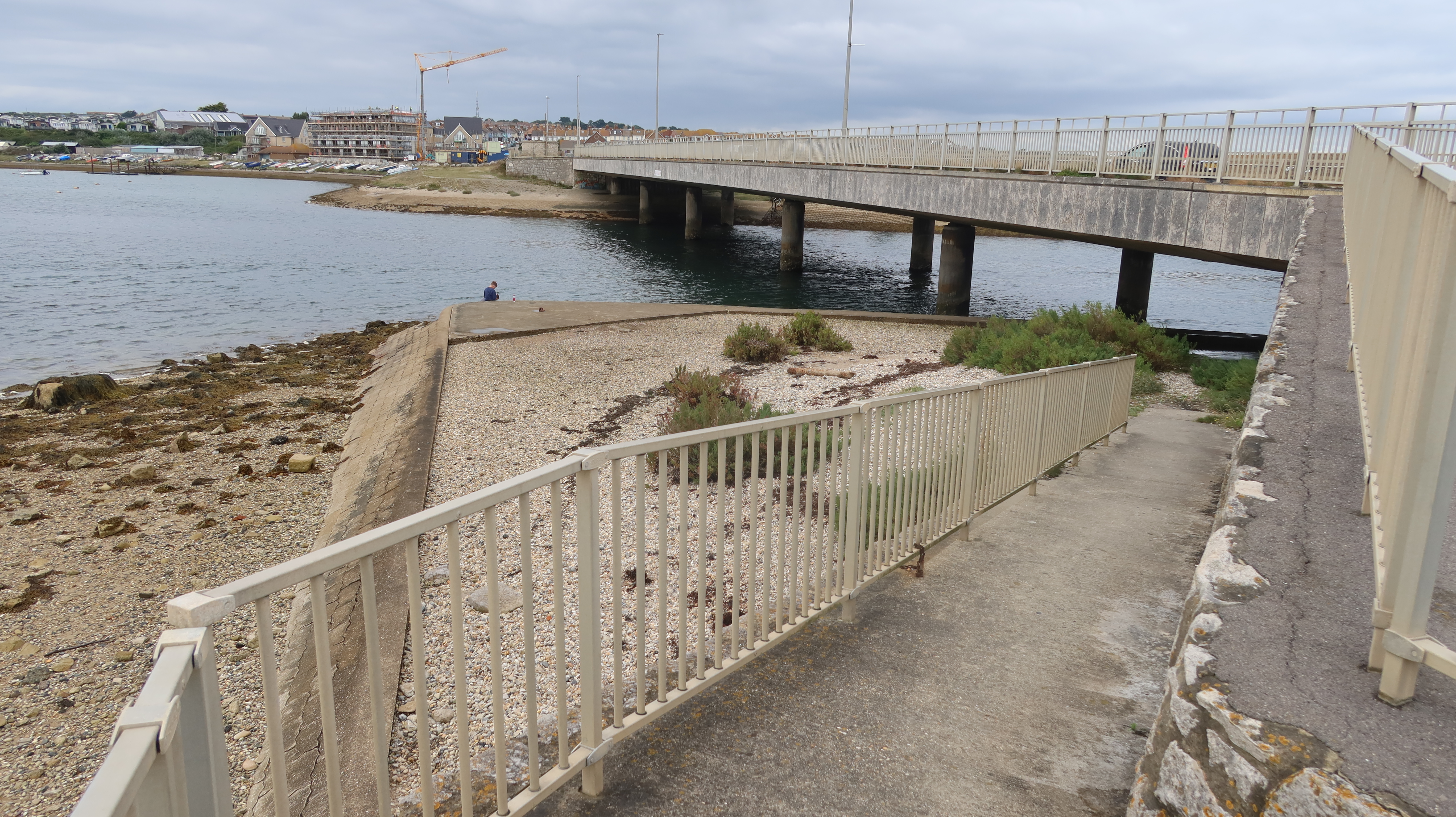
Ferrybridge got its name from an early ferry that crossed the entrance to the Fleet which was replaced by a bridge, hence Ferrybridge.
These pages explore a number of aspects of the area and how it has evolved over the years.
The southern end of Chesil Beach looking from the Narrows towards Portland


Looking south towards Portland
Looking north-west towards The Fleet

Chesil Beach and the Fleet Lagoon
18 miles and 180 billion pebbles
Ferrybridge - Introduction